
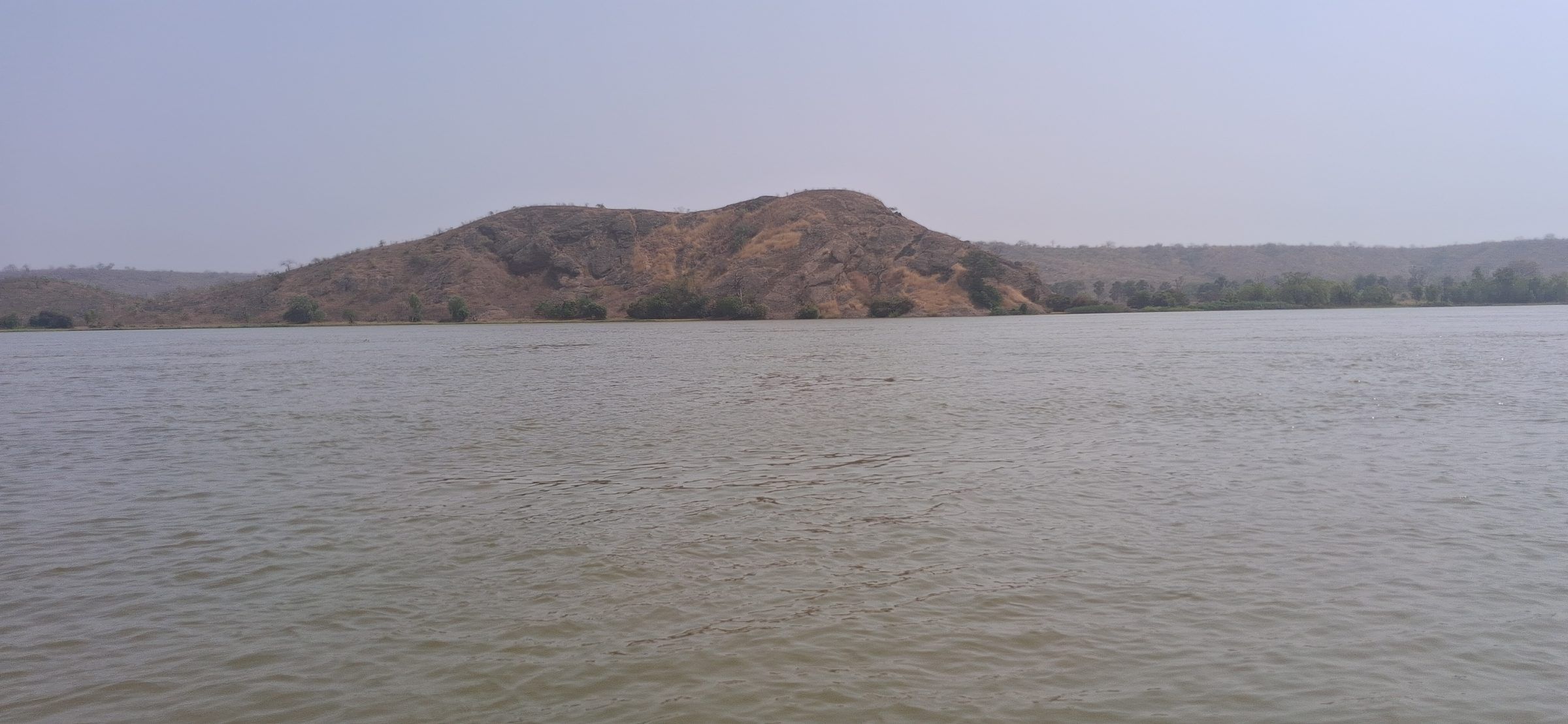
Benin · January 2026
Malanville plain
Topographic surveys on the Malanville plain, as part of the studies for the site.
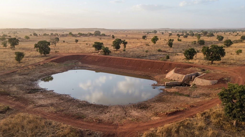
Field photos, 2026
Photo gallery (12 photos)
The river alongside the Malanville plain, with a hill in the background 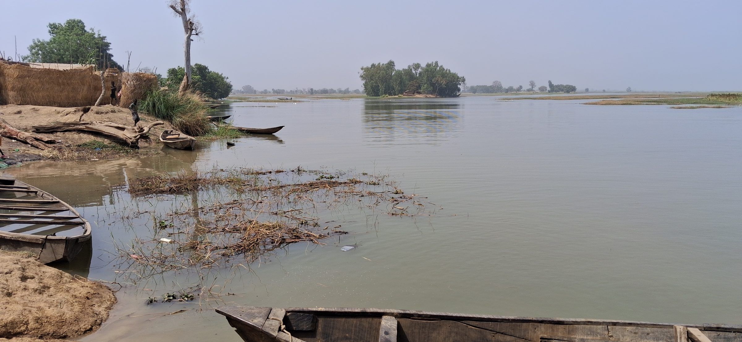
Riverbank with moored dugout canoes, Malanville plain 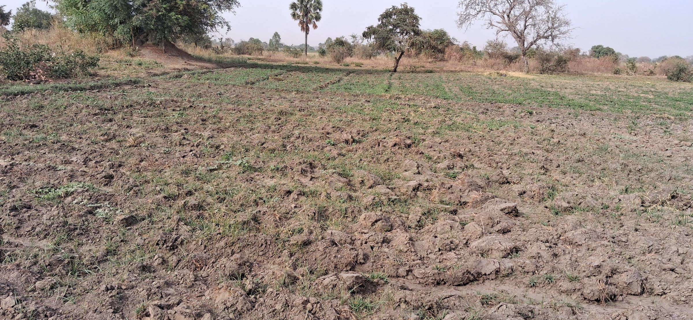
Malanville site: ploughed plot in the plain during the dry season 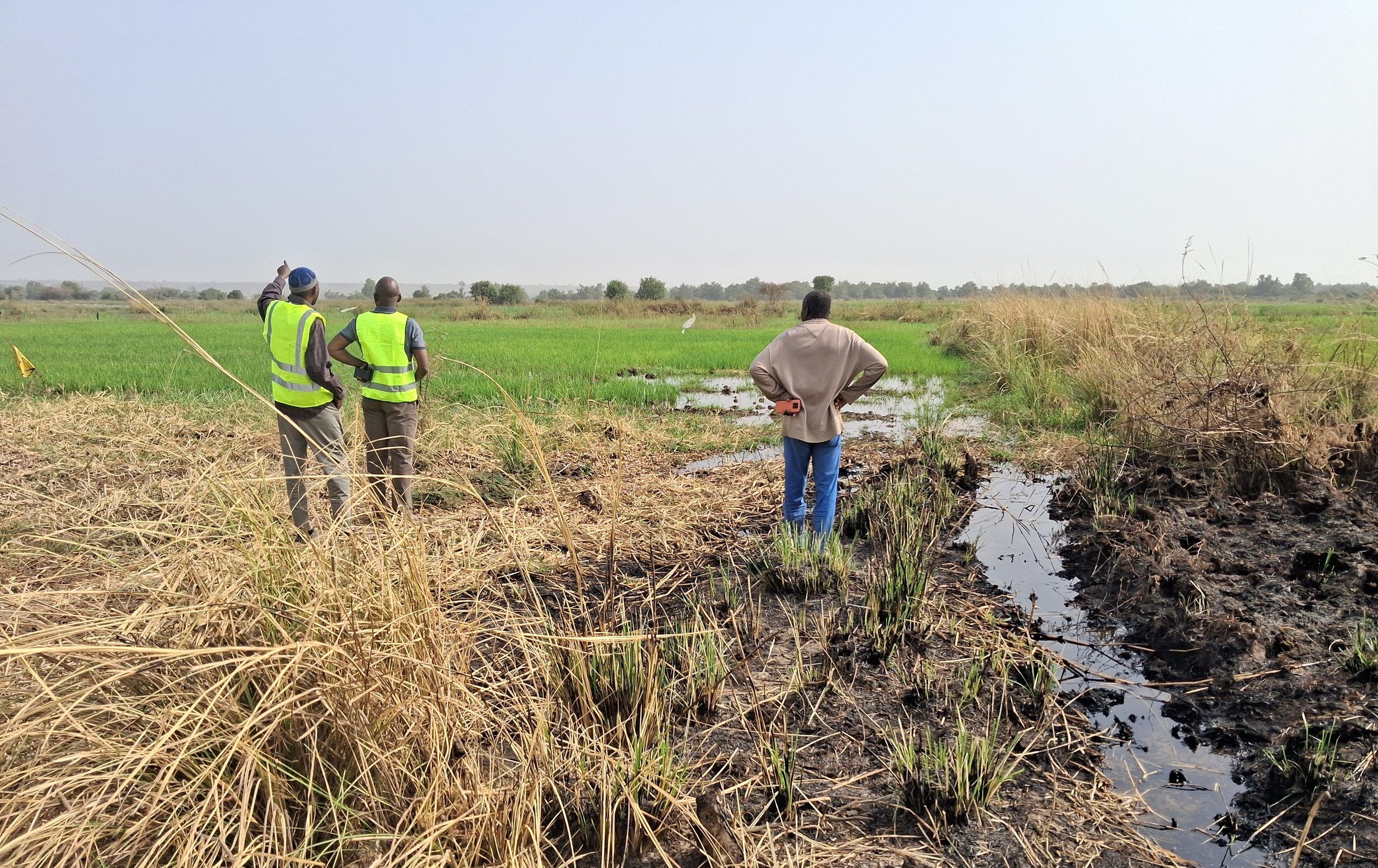
Malanville site: field reconnaissance at the edge of a rice field and a drainage channel 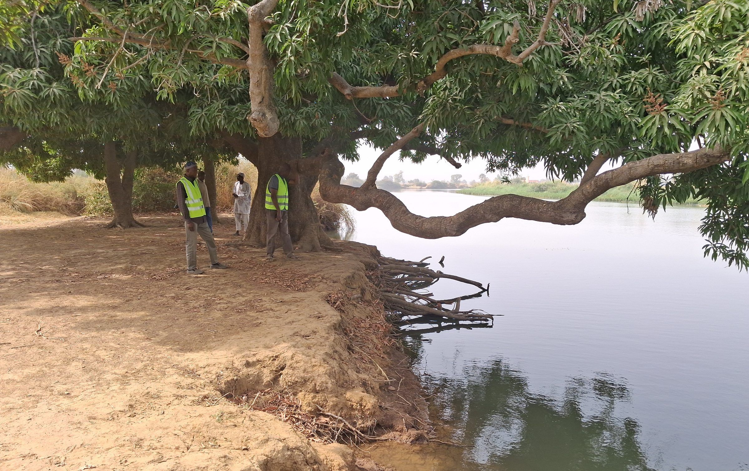
Malanville site: eroded bank beneath a large tree on the river 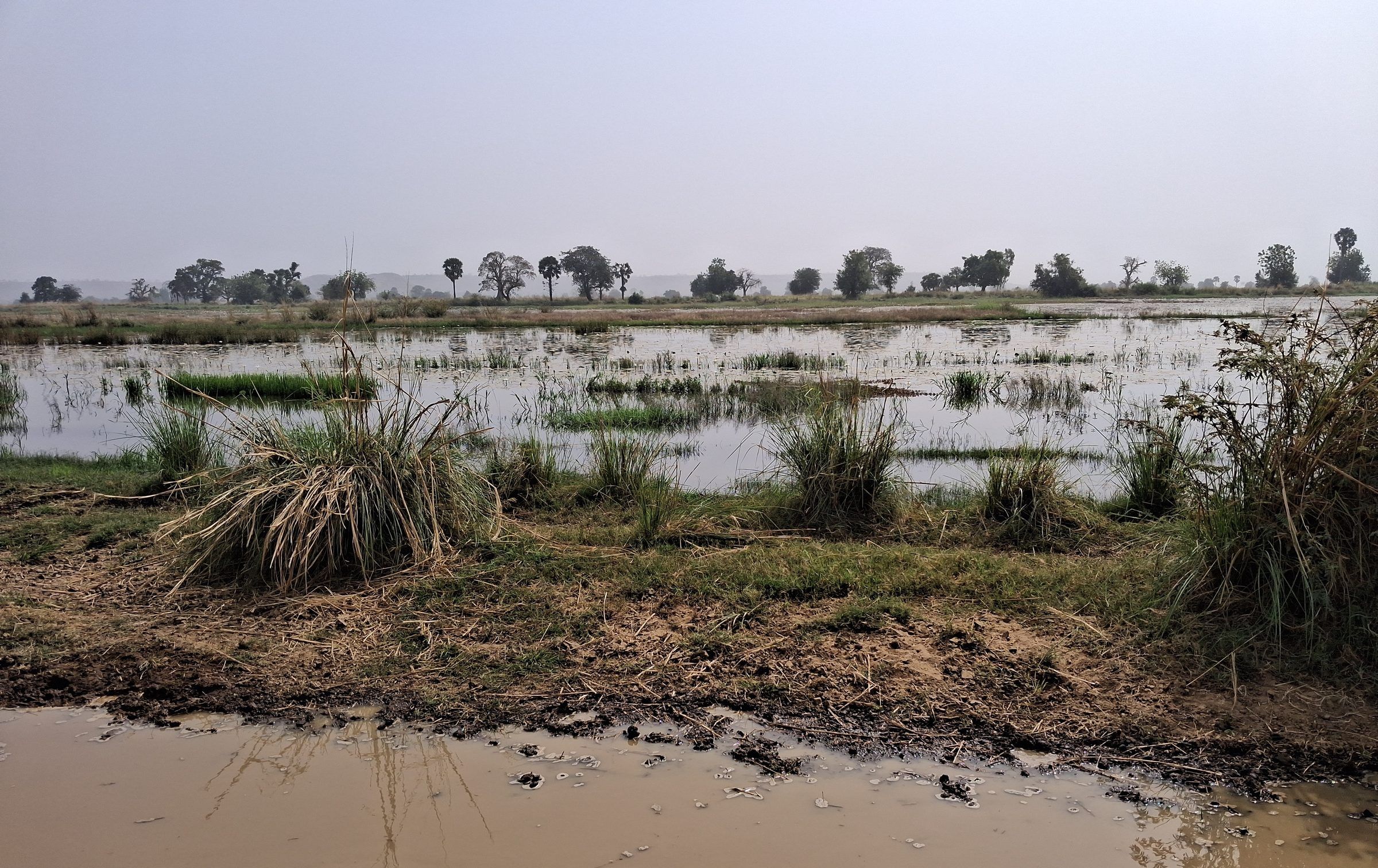
Malanville site: flooded area of the plain 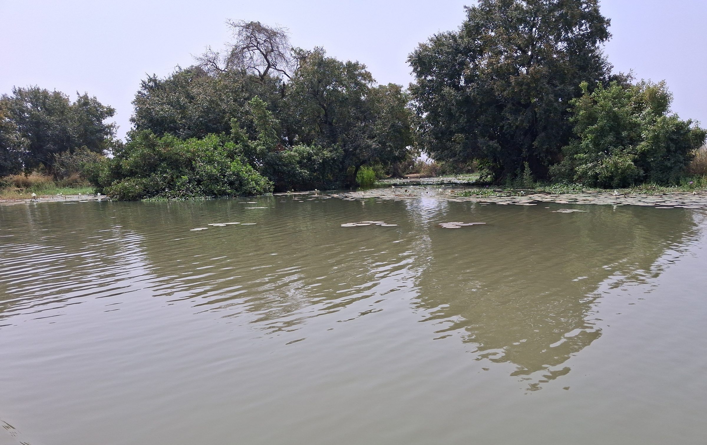
Malanville site: river channel lined with vegetation 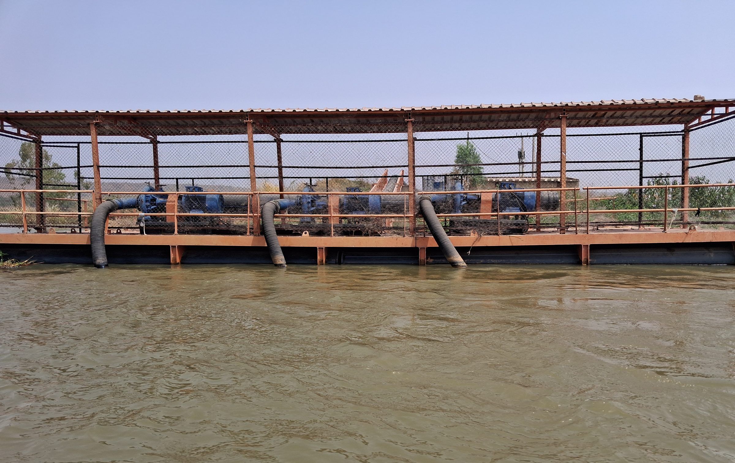
Floating platform fitted with pumps on the river 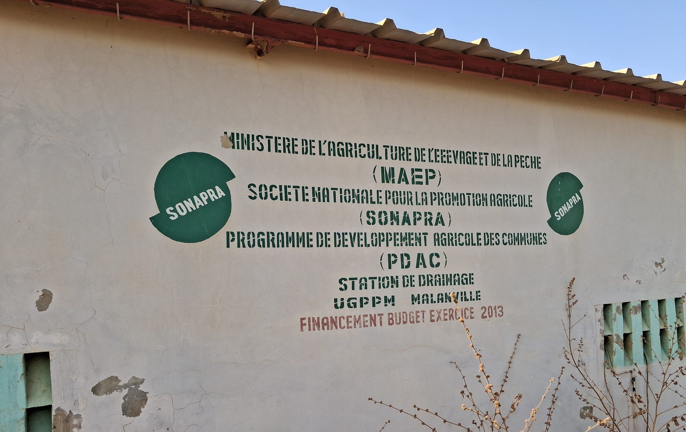
Plain drainage station, facade bearing the SONAPRA and PDAC inscription 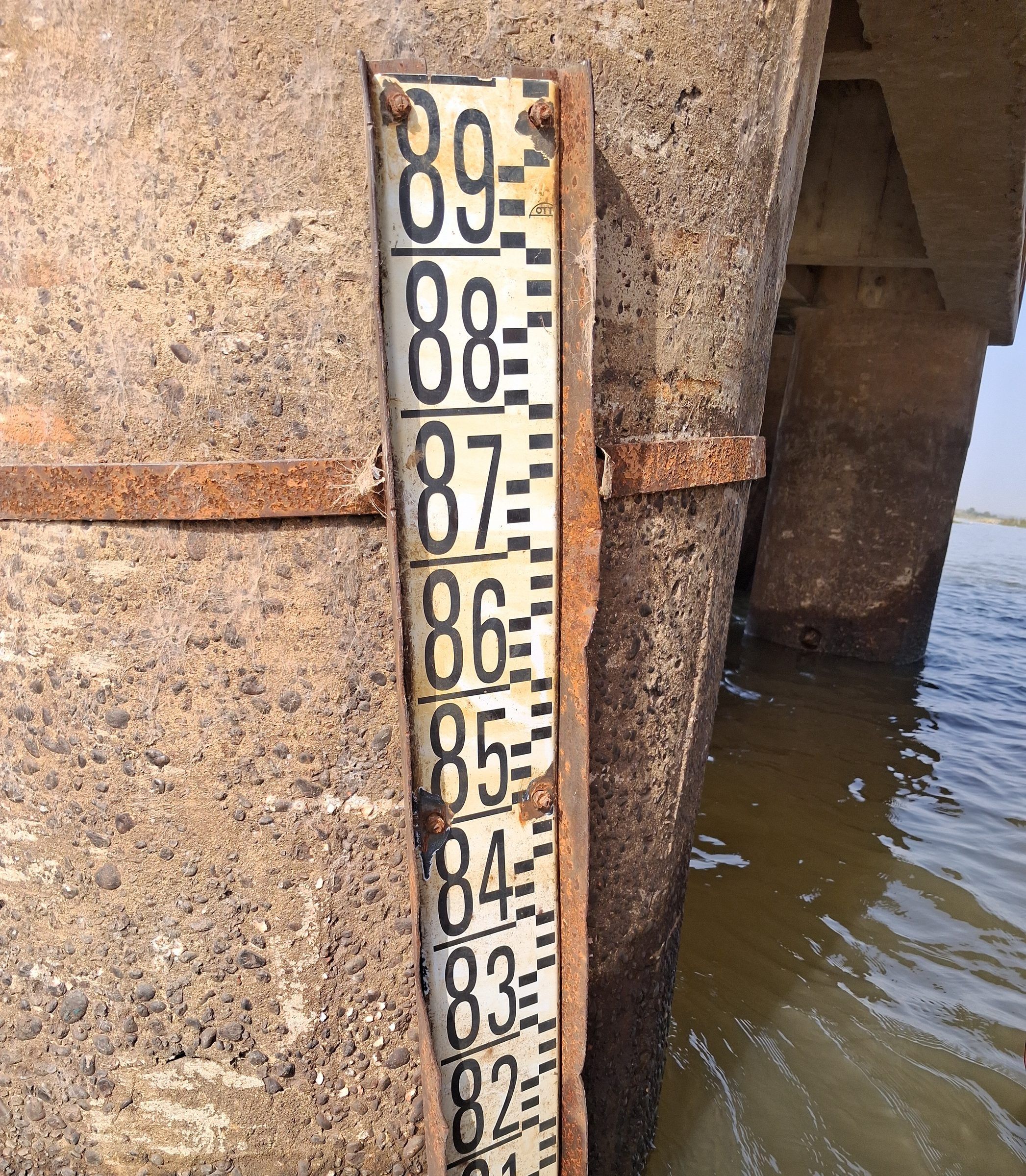
Water-level gauge fixed to a bridge pier 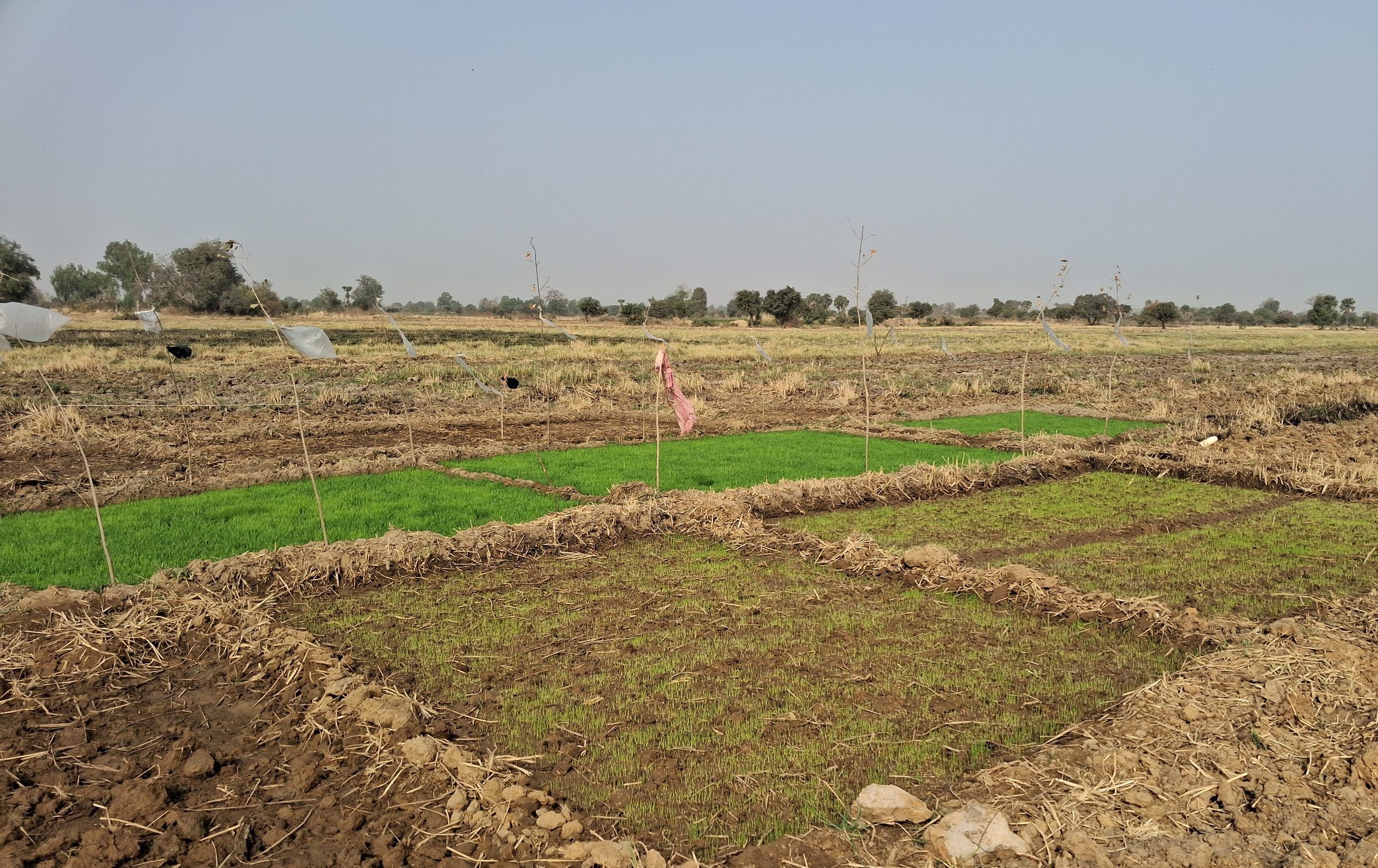
Nursery beds in bunded plots on the Malanville plain 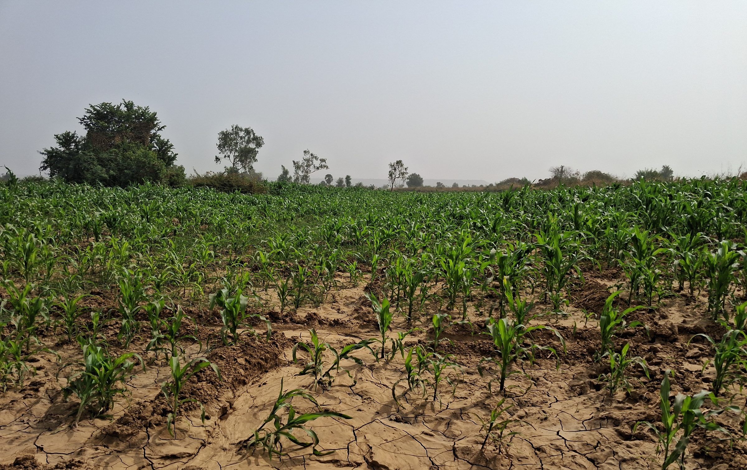
Dry-season maize crop on the plain
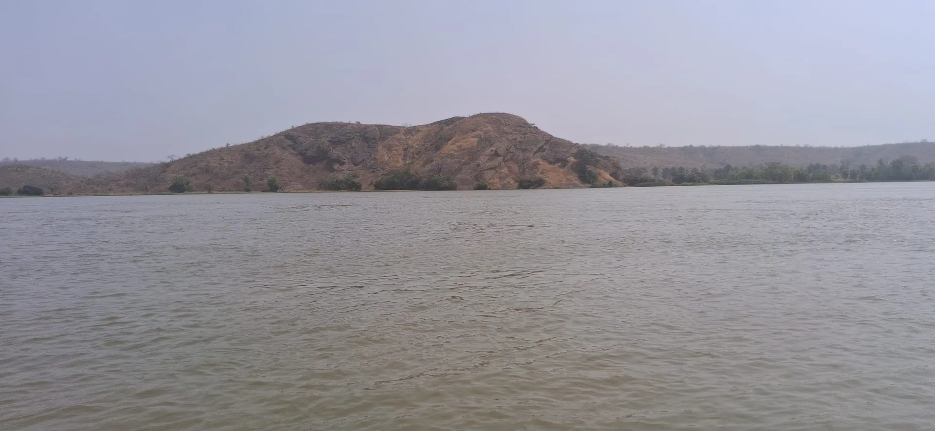
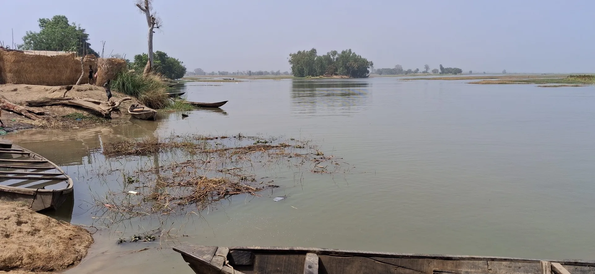
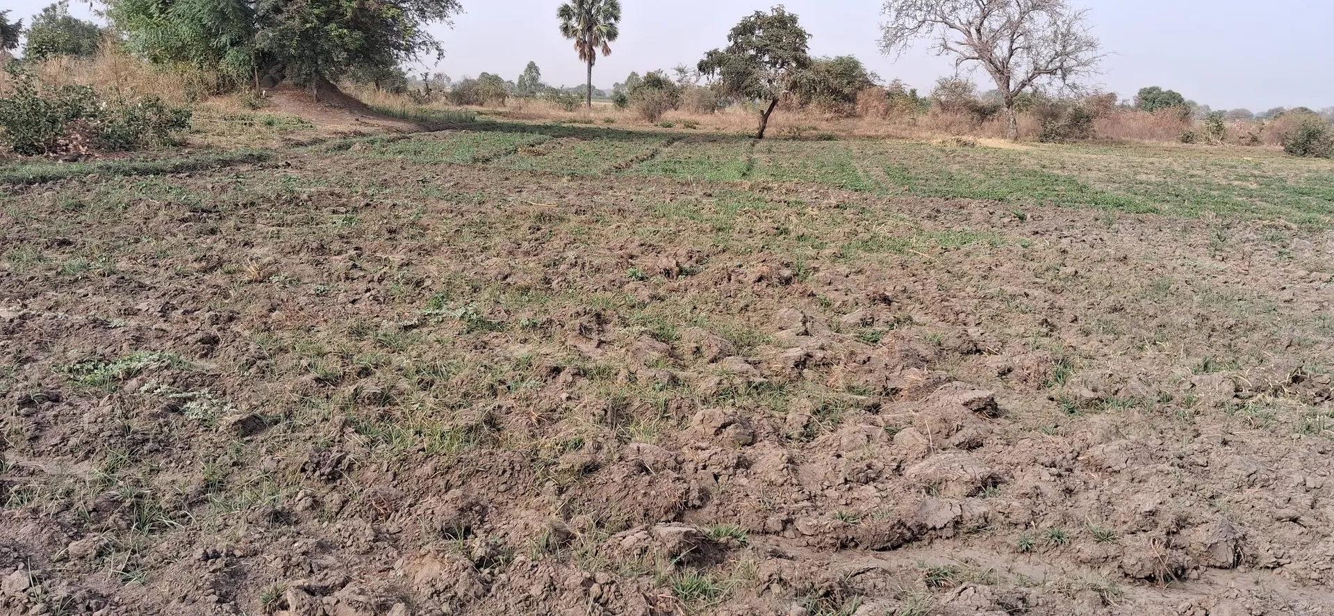
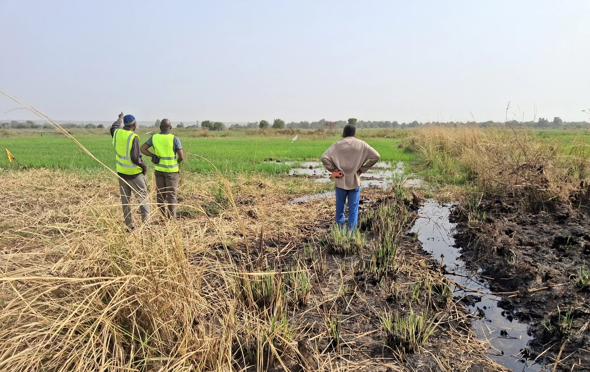
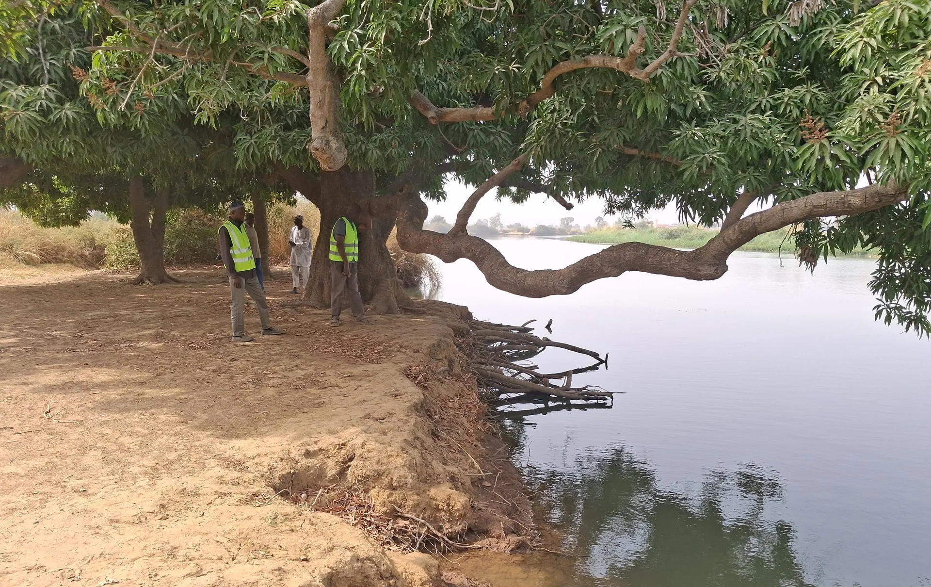
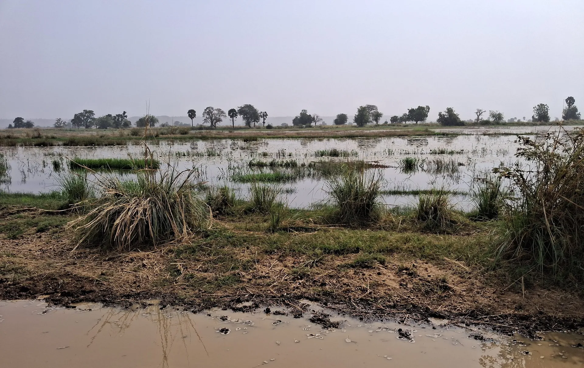
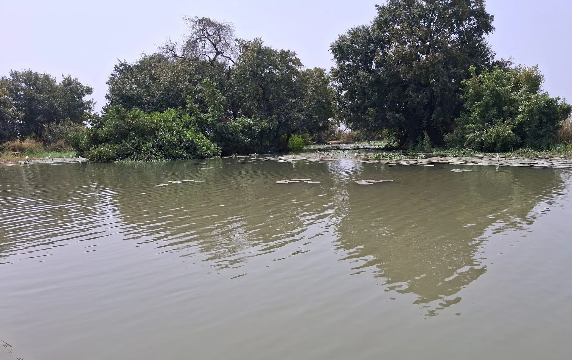
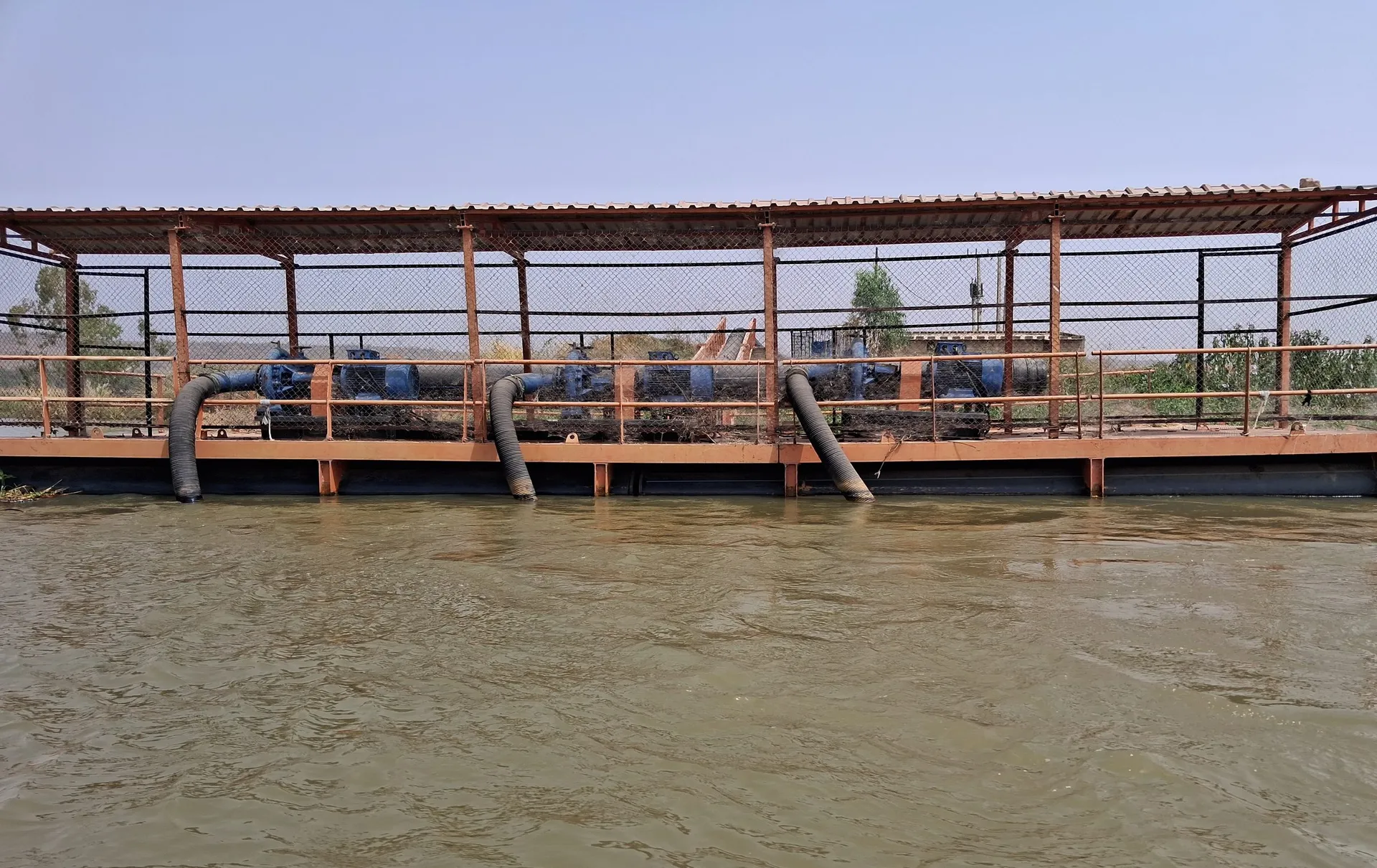
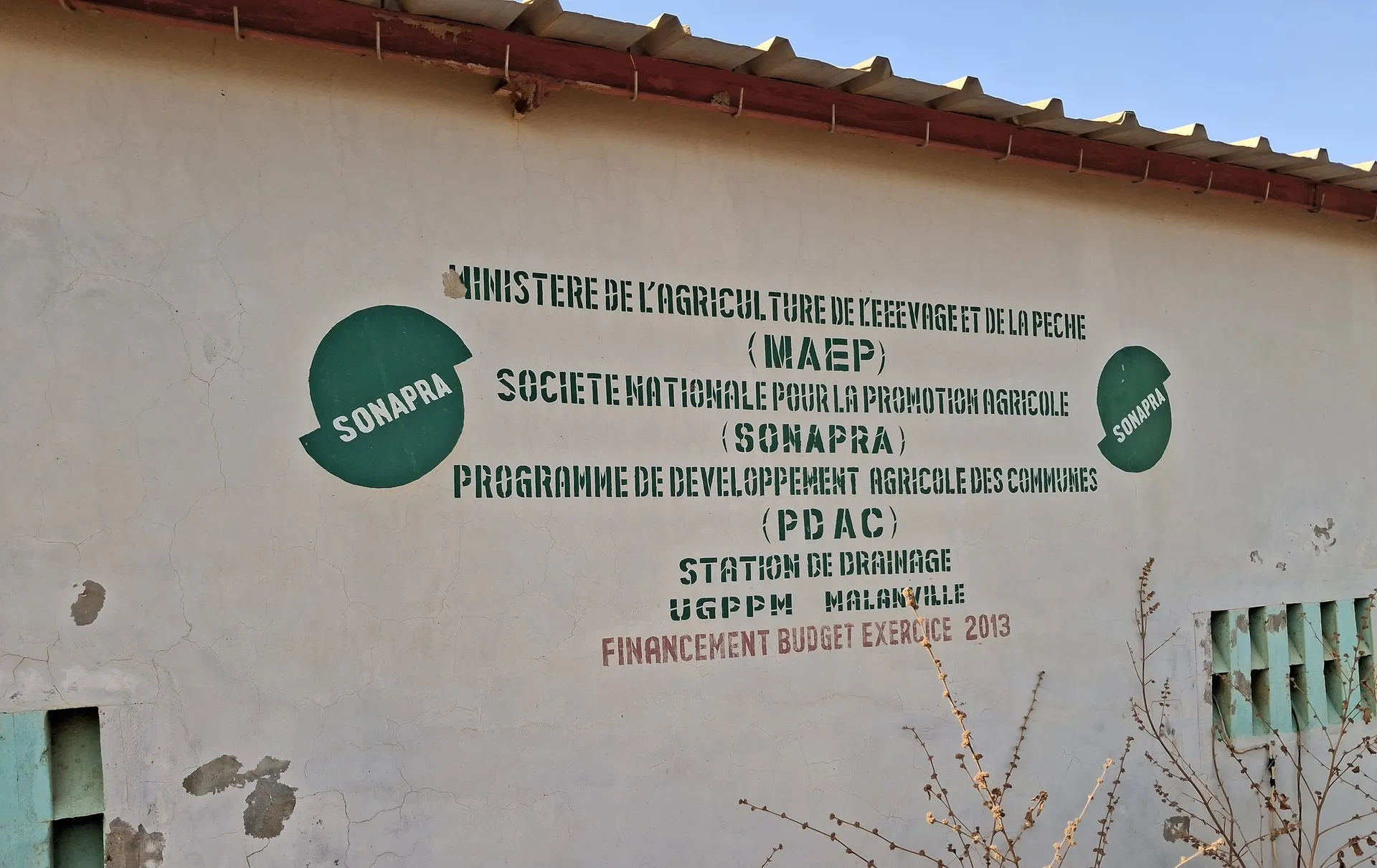
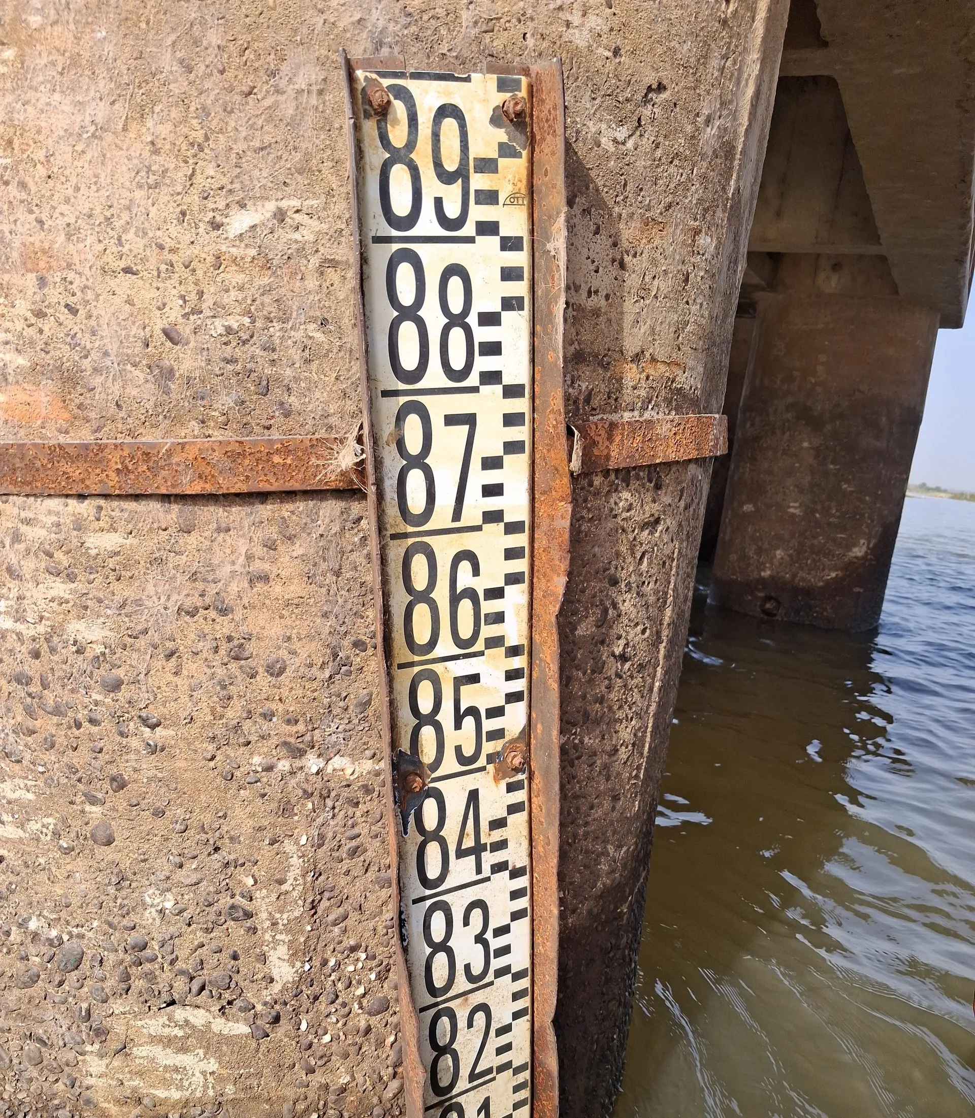
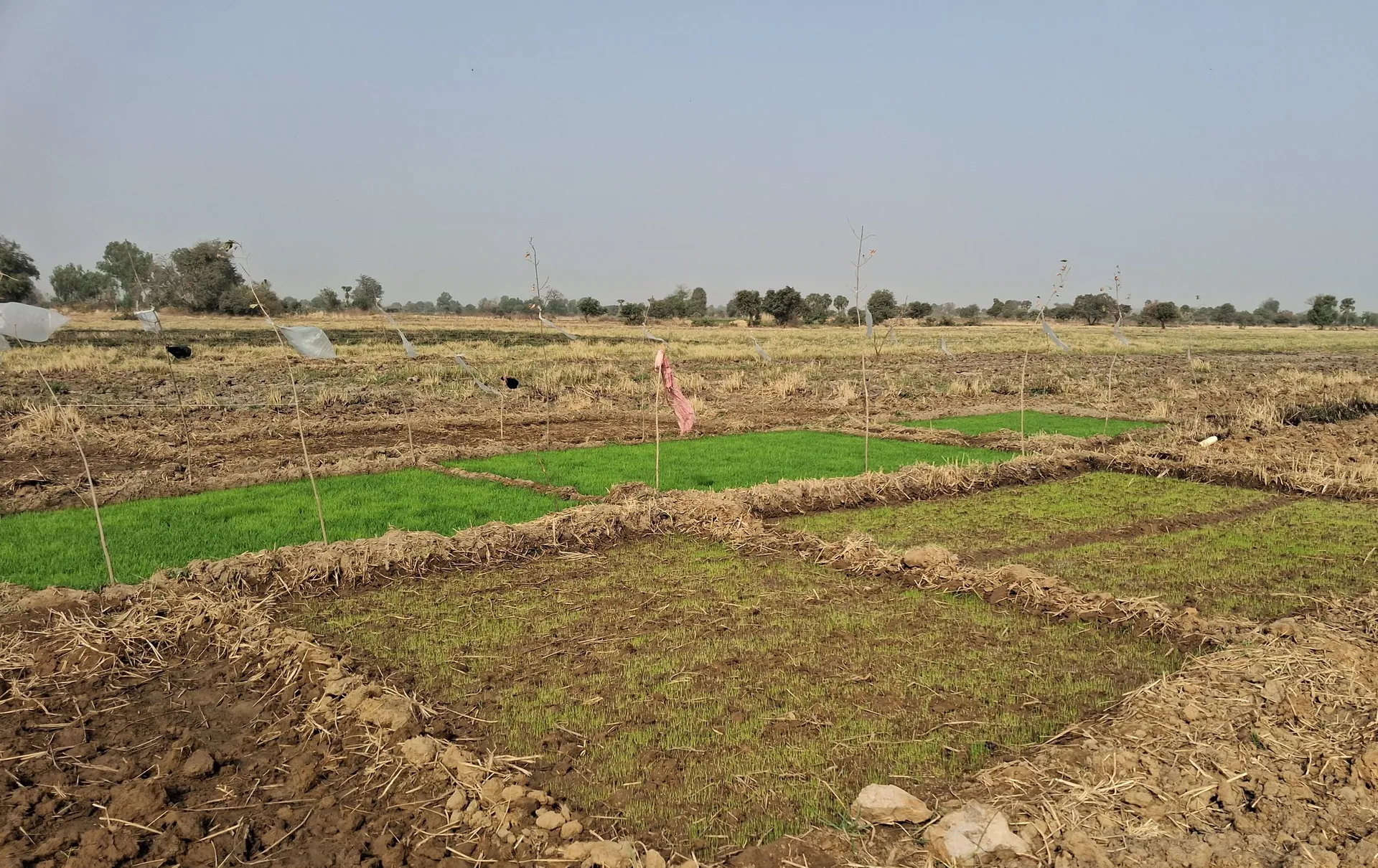
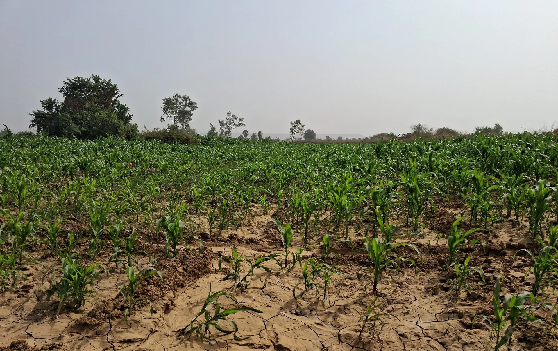
Photo: SAED
Ongoing assignments
Planning a development scheme?
Tell us about the site, the planned works and the stage you have reached. We will reply by email.
Get in touch